
PRE-DESIGN SERVICES
-
Several services may be needed before beginning any project's design. This phase focuses on gathering and processing information, as all project details are collected for use in Schematic Design. The client is responsible for supplying the Pre-Design Information listed below. If the client cannot provide this information, we might suggest or offer the Pre-Design Services outlined below.
We cannot edit CAD or PDF plans from other sources, so we will be required to model existing conditions before starting Schematic Design. Pre-Design work and client approvals can take over 2–4 weeks.
-
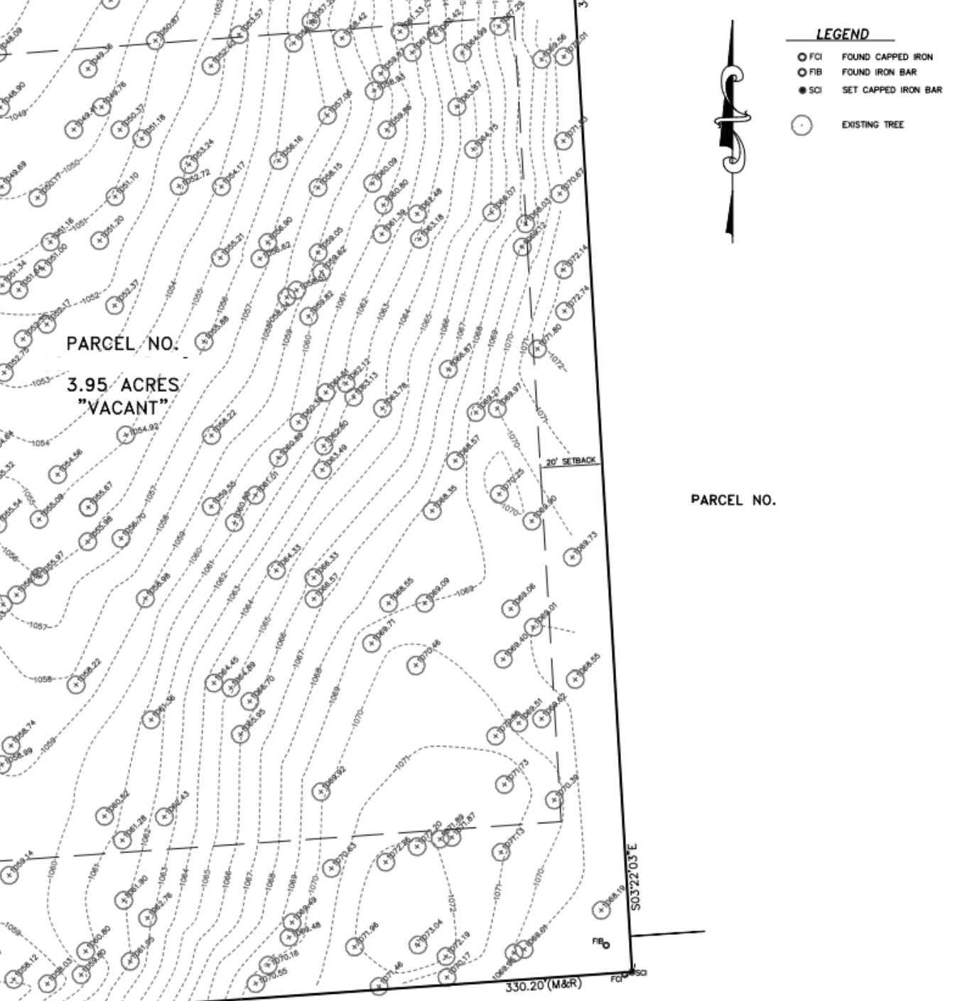
Surveyor
A licensed Surveyor is required for all site work, including new builds and additions, to locate Boundary lines, Roads, Easements, Utilities Topography, Significant site features, Existing structures, Wetlands, Test pit/soil boring locations
Contact us for help finding a surveyor and getting quotes.
-

Geotechnical Reports/Soil Tests
Local authorities may require soils engineers, soil borings, or percolation tests for new construction to avoid unexpected excavation costs and design changes. Clients are responsible for providing geotechnical reports or tests for their projects.
-

Digital Scanning
As-built documentation is required for modeling existing conditions and project phases.
If the Client cannot provide sufficient as-built information, a digital scan of the building or site must be done.
Demolition should occur before scanning; we do not open walls or demolish structures for scans.
A Point Cloud Scan does not replace a Site Survey and cannot determine boundaries, utilities, or easements.
Accuracy will vary by scanner and is not guaranteed.
-

Field Documentation of Existing Conditions
We only conduct manual measurements if As-built plans or point clouds are unavailable.
Accuracy is not guaranteed.
Conditions in covered or inaccessible areas, such as attics and crawl spaces, remain unknown unless the Client completes demolition first. Demolition should occur before any measurements. We do not open walls or demolish existing buildings or sites.
Any necessary hand or field measurements are to be provided by the Client or General Contractor.
-

Model Existing Conditions
Pre-Design Phase information is used to model current conditions in later phases. These drawings are necessary for all renovation and addition projects, and their detail depends on the building's size and complexity.
-

Programming
The Client is expected to supply a comprehensive Program detailing building dimensions, room sizes, the relationship between spaces, and any specific needs regarding areas, furnishings, fixtures, or equipment. If the Client is unable to assemble a program, we can create one tailored to the Project's requirements.
Program Services may involve: a Program Report, Site Analysis, Space Planning Diagram, review of Building Codes and Regulations, Project Budget, and a Feasibility Study.
-
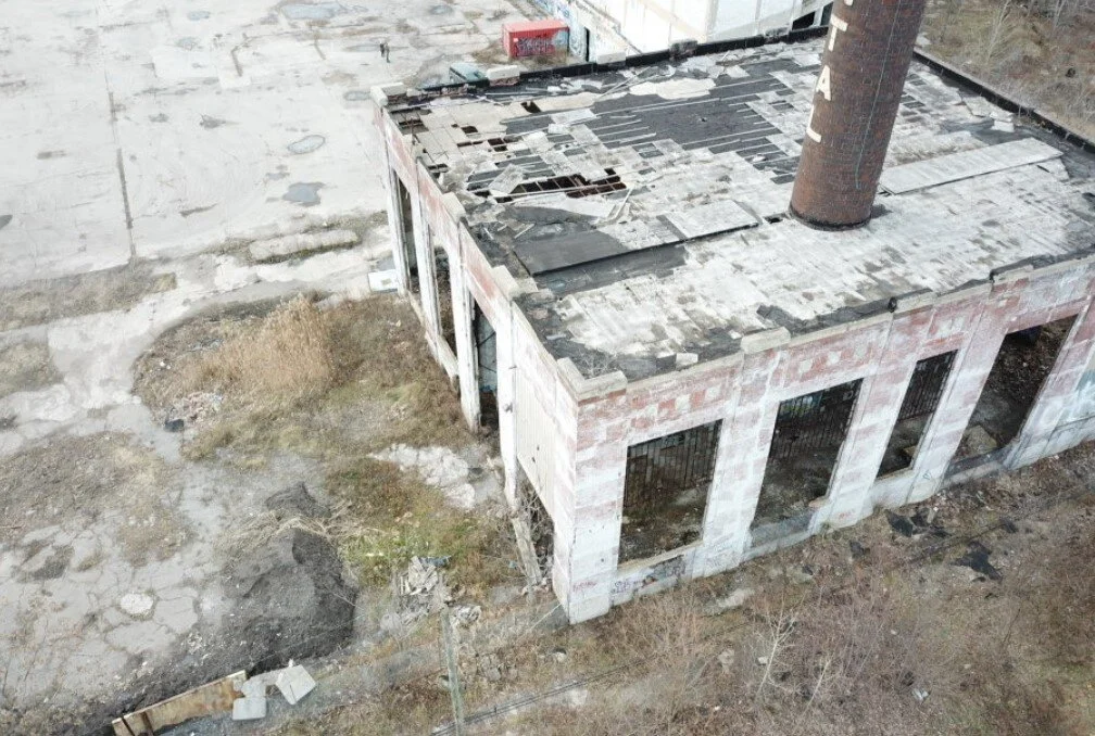
Drone Photography
A drone can capture site or roof images and video. Service is subject to FAA regulations.
-

Code Analysis
A preliminary evaluation can be conducted of zoning regulations, by-laws, deed restrictions, covenants, environmental considerations, and flood zones, along with a comprehensive assessment of the overall permit management process.
-

Final Review & Client Approval
The Client must approve Pre-Design Phase documents before moving forward.
-
Sample Services
Description goes here