
Technologies
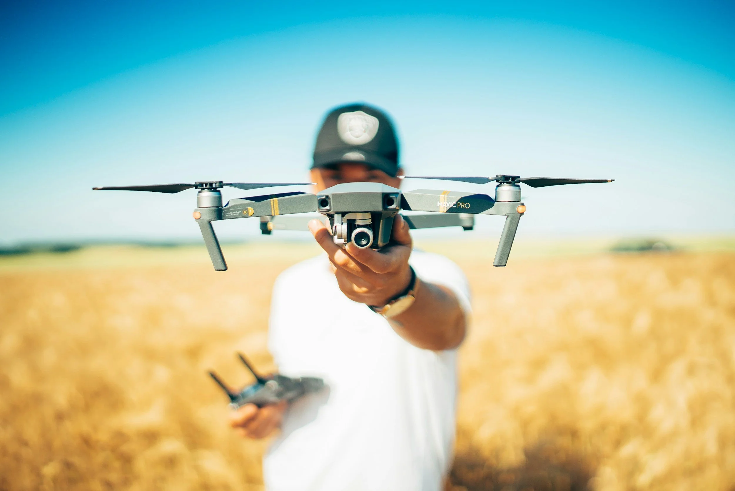




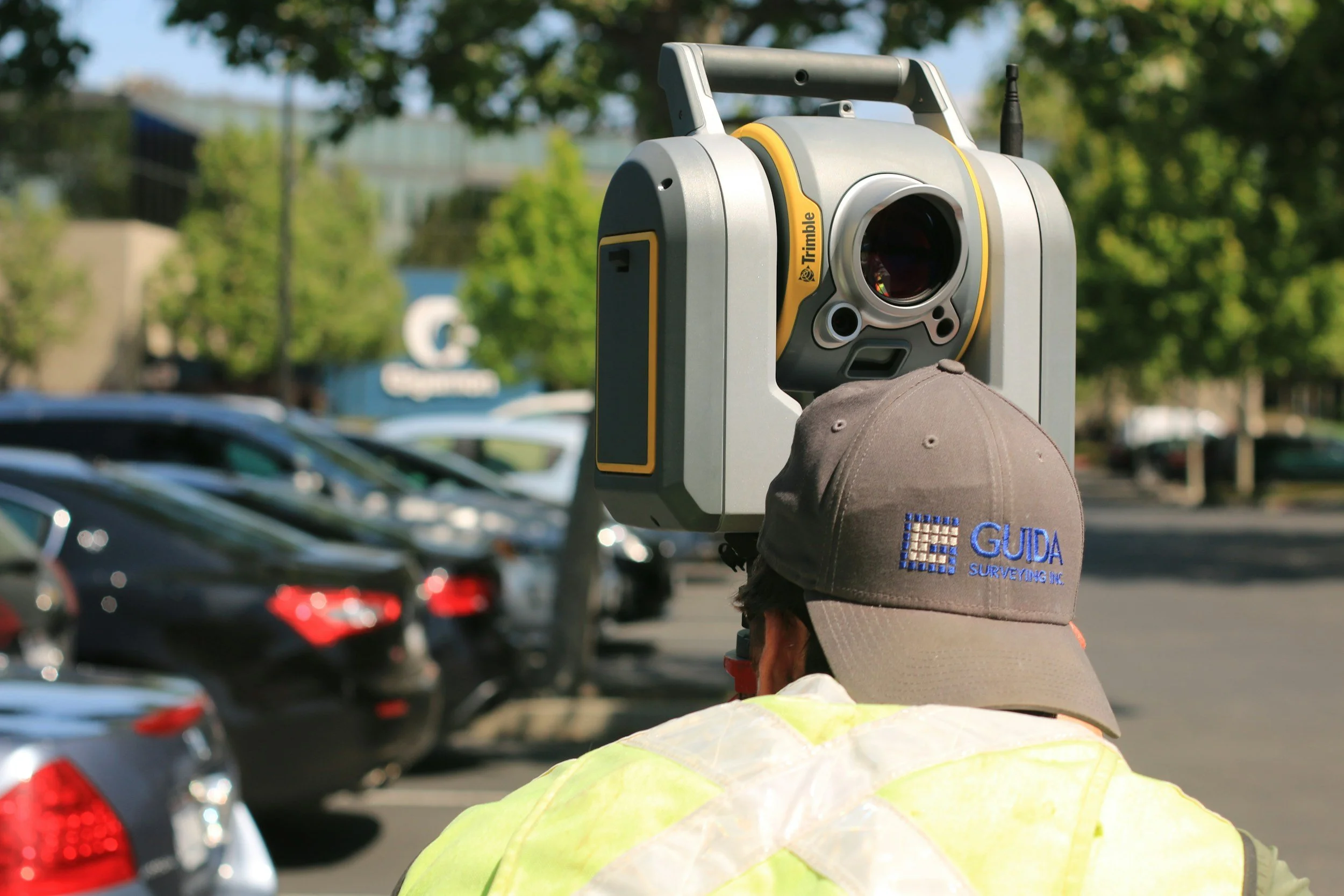
With the rapid advancement of emerging 3D technologies, we often find that laser scanning is a more precise and efficient alternative to traditional field measuring methods. If FAA regulations allow, we can also deploy drone flights to access hard-to-reach areas or gather detailed point cloud data.
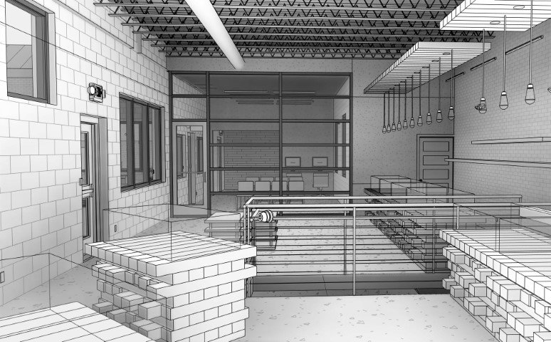
Utilizing the latest BIM software, we carefully analyze how your specific program integrates and interacts with the building’s structure. Additionally, we encourage you to request a walk-through so you can experience firsthand how your program functions within the architectural design.
We can take your BIM and Render it to a color image.
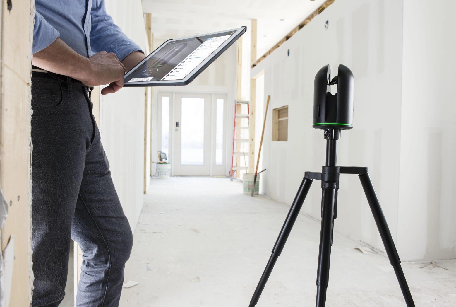
We utilize new building scanners to gather information on your project.
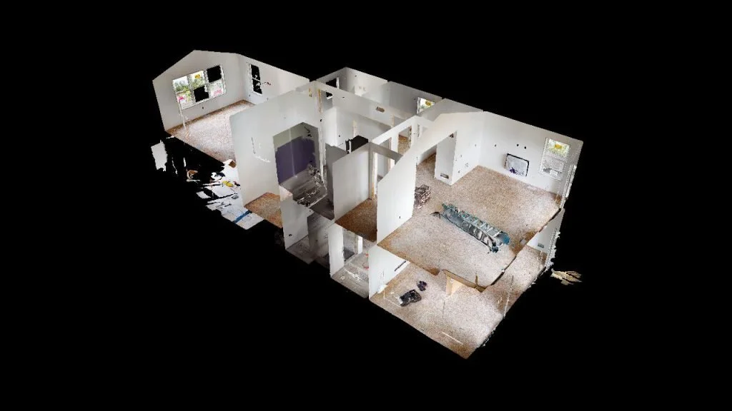
After you building is scanned, the information is processed as point cloud.
We utilize Matterport to gather scan data and photos from the field.
For Larger more detailed buildings, we use a BLK 360 Scanner. Contact us to rent.
If a project is hard to reach we can send in the drown for photos.
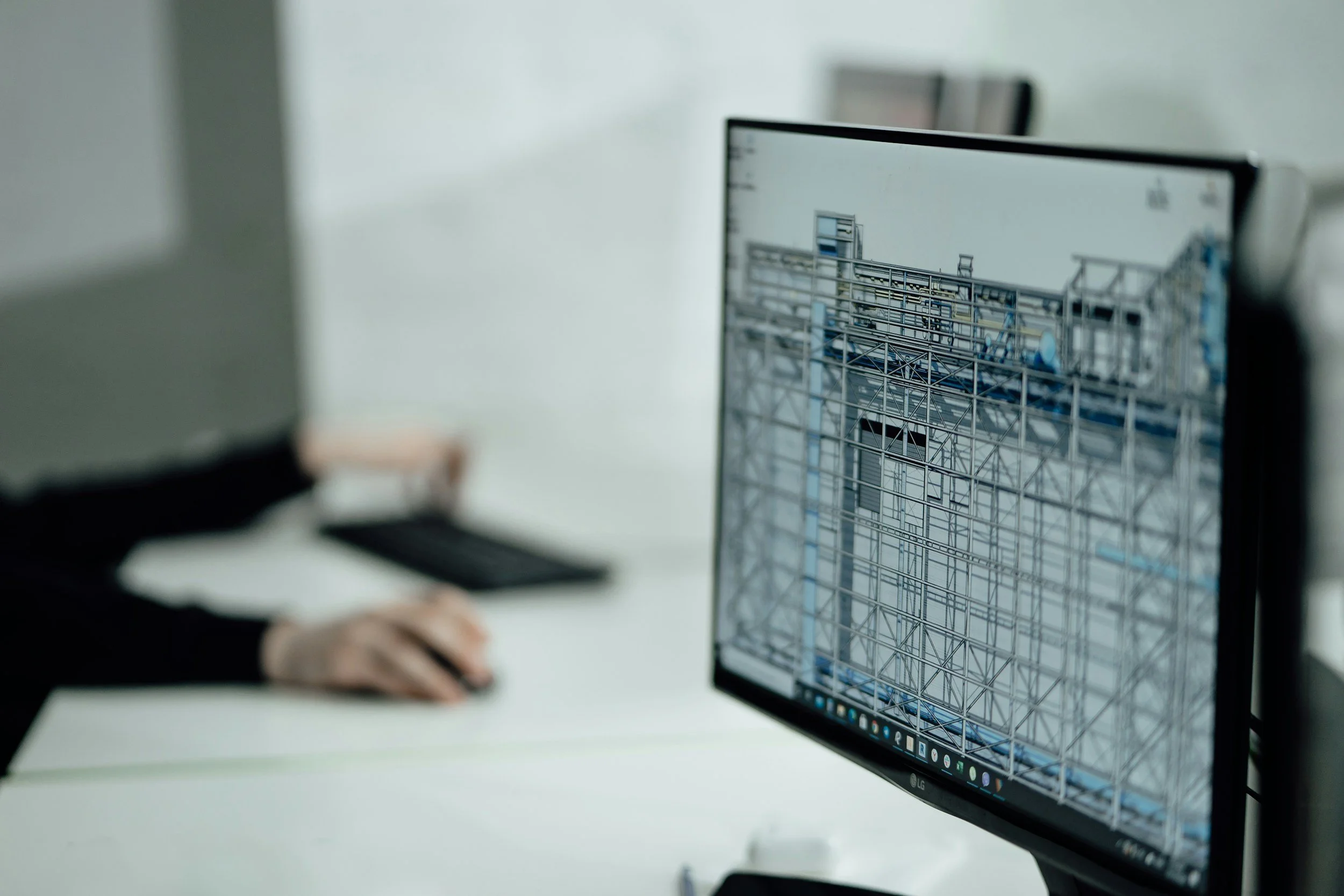
All of our projects are modeled in the latest software. This takes longer than traditional hand/cad drawing, but allows a 3-d review of your building.
We utilize various rendering software tools to bring your vision to life.